I had been hoping to have the ‘pooh brown number’ (my new PPL licence) for this flight. I had taken all my training documents in person to the CAA on 24th July. Last Saturday the expected recorded delivery package arrived from the CAA. Whilst it had my logbook in it, there was no licence and instead a letter saying that the copy of my passport had not been certified. This was quite annoying as the purpose of my visit in person to the CAA was to avoid this sort of problem. I had taken my passport with me and it was the CAA staff that copied it. I waited until Monday and rang the CAA to explain. The lady I spoke to apologised and said that the licence would be sent out today or tomorrow (Tuesday). Well it is now Thursday and it has still not arrived !!!!!!!!
This morning when I got up the sky was a beautiful blue and completely cloudless. My flight was booked for 10:30am. I checked the weather and there was quite a brisk 25 knot north westerley breeze at 2,500 feet and cloud was due to pile in together with rain showers. It still looked good enough to go although I would have to reduce my planned cruise altitude to 2500 from 3000 ft. I worked out that my ground speed towards Devizes would be a slow 73 knots and a leg time of 38 minutes. When I returned with the wind off my tail my ground speed would be 114 knots and the leg time was just 24 minutes.
Today was the day that the security problems at all UK airports kicked off. Great because my wife is due to fly from Heathrow to Manchester tomorrow and then from Manchester to Barbados. Much repacking of bags and cabin items was necessary and if the worst happens, I will drive her to Manchester Airport, a 7 hour round trip with a 4am start.
I set off for Blackbushe at 10am and the sky was already overcast. The A322 was slow where it joins the M3 but I made it to Blackbushe in time. My aircraft today was G-BLWV and I checked the tech log that indicated that there was plenty of fuel on board. Next I had to check the Notams as there could be new airspace restrictions with the elevated flight security situation. My flight was through uncontrolled airspace and there were no new problems on my planned route. After booking out, I checked out the aircraft and could feel the strong breeze blowing the aircraft about. Luckily the breeze was only at a slight angle off runway 25.
I had brought my ultraportable laptop with me and a bluetooth GPS unit. I was going to run this as a backup to my nav. log planning. I got it started up on the passenger seat and it showed the aircraft position on the edge of the airfield. I was using Memory Map software and it would give me a moving map display with the aircraft at the centre of the map display. I had already plotted my planned route on it, together with some avoid areas.
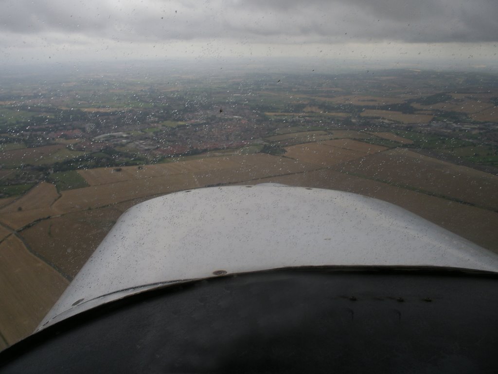
After the aircraft check, I started the engine, called up Blackbushe Information on the radio and got the taxi information. At 11:10 I started taxiing and after the warm up checks, I took off on runway 25 to depart to the west. Whilst climbing away from the airfield, Blackbushe Information gave me permission to call Farnborough Radar. As soon as I got to 2000 ft I gave them a call and they gave me a Squawk code, etc. I continued climbing to 2500 feet and then levelled out. The moving map display was working well and I could see that I was to the right of my intended track and so altered my heading slightly. Obviously the wind at this height was not quite as forecast. It was slow progress with a significant headwind but eventually I reached a turning point where I was going to dogleg around a glider launch site at Rivar Hill. Here they cable launch gliders and the cables can go upto 3,800 feet. I completed the dogleg and was soon overhead Pewsey with only a short time to run to Devizes. I was asked to change to Lyneham Radar on the radio and I did this. The weather was not great and I flew through some showers. Here is a picture over the aircraft nose as I approached Devizes.
TIP If you click on an image your browser will display a larger vesion of the picture.
I had chosen to fly to Devizes as I used to live there thirty years ago. I expect it has not changed much and the 6x (a Wadworth beer) is just as good at The Bear in the market square.
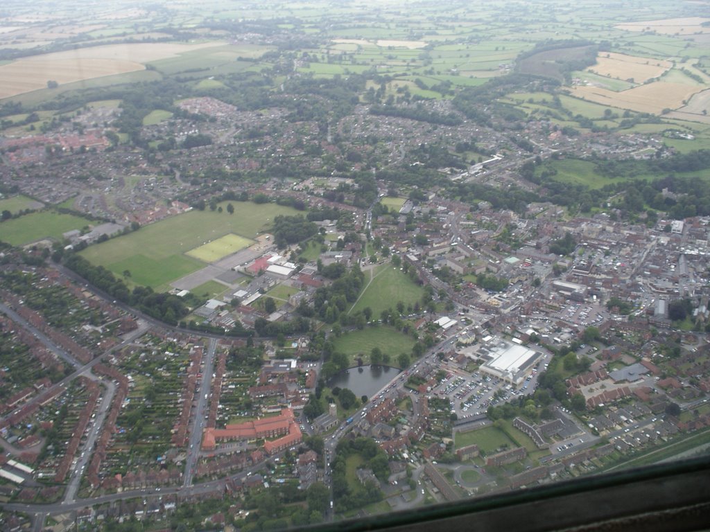
Here are some more pictures.

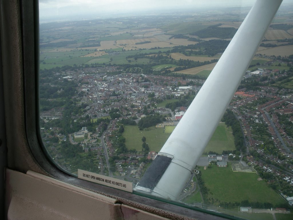
I was trying to spot the house that I lived in but could not quite pick it out.
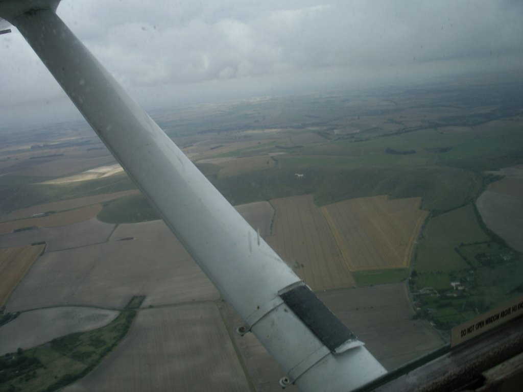
After a couple of overhead circuits, I turned for home. I took a picture of the White Horse on the hillside just outside the town. It is quite small in the photo and you can see one of the rare places where the sun was breaking through the cloud.
After my flight I took a photo from my laptop screen that shows the route that I flew when overhead Devizes.

My return flight was much quicker and after changing back to Farnborough Radar, it was not long before I could see the airfield. I got permission to change the radio frequency to Blackbushe Information. I joined overhead from the deadside at 800ft and was soon cleared to land on runway 25. I touched down at 12:30 and was applying the brakes and shutting down at 12:33.
It was not quite the pleasure flight that I had intended but I did enjoy it. My next challenge is to try to get to fly at the same time as we are having good weather. It is proving more difficult than I expected to do this, even though it is August.
Let’s hope I get my ‘pooh brown number’ soon and that BA are back to normal in the morning.
Peewit

No comments:
Post a Comment